Kashmir
What the map covers, how big it is, and what you will see from the air.
At a glance
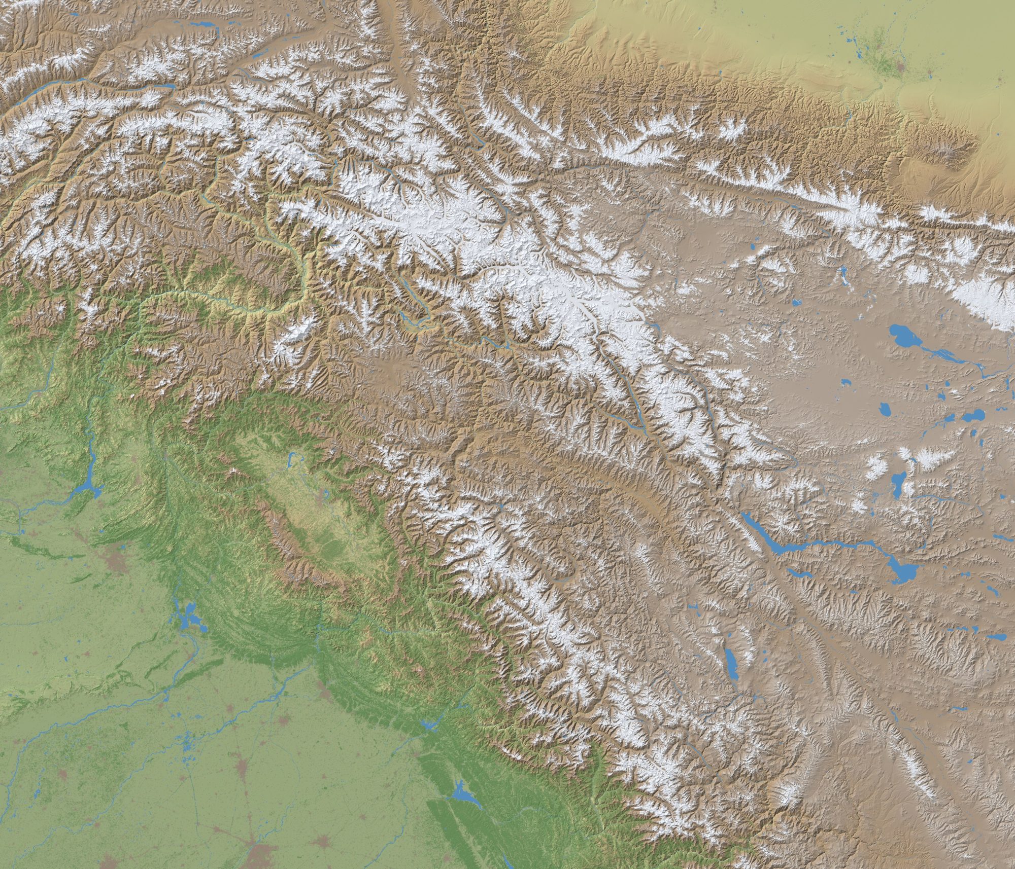
| Size | About 803 by 688 km |
| Centre | 34.55° N, 76.4° E |
| Covers | The Kashmir valley, Jammu, Ladakh, Azad Kashmir, Gilgit-Baltistan, Aksai Chin and the land around them |
| Airfields | 25, with 28 runways. See Airfields |
| Highest ground | K2, 8,611 m (28,251 ft) |
What you fly over
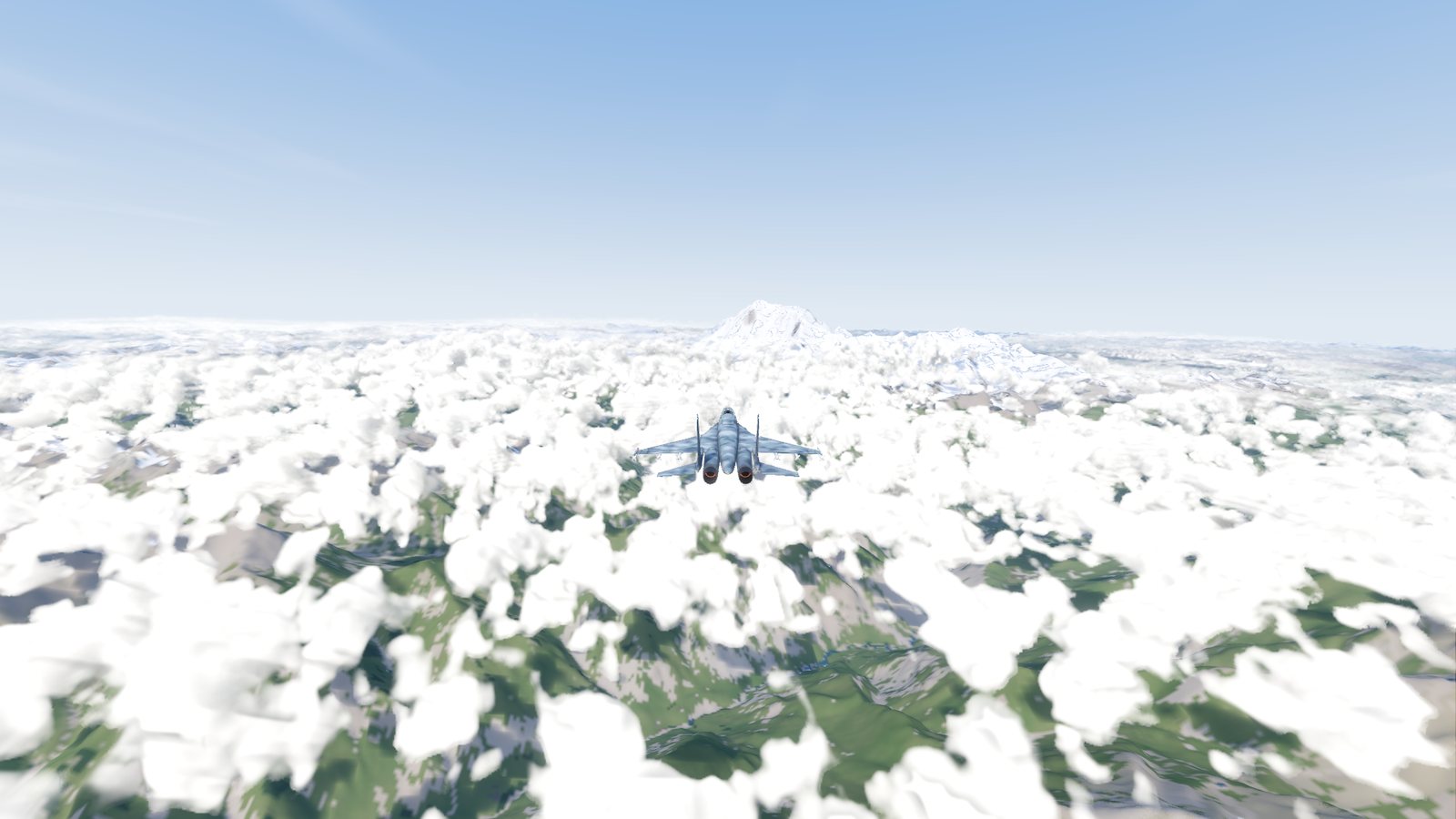
- Real terrain with a height every 30 metres, from satellite data. Valleys, ridges and peaks are where they are in reality.
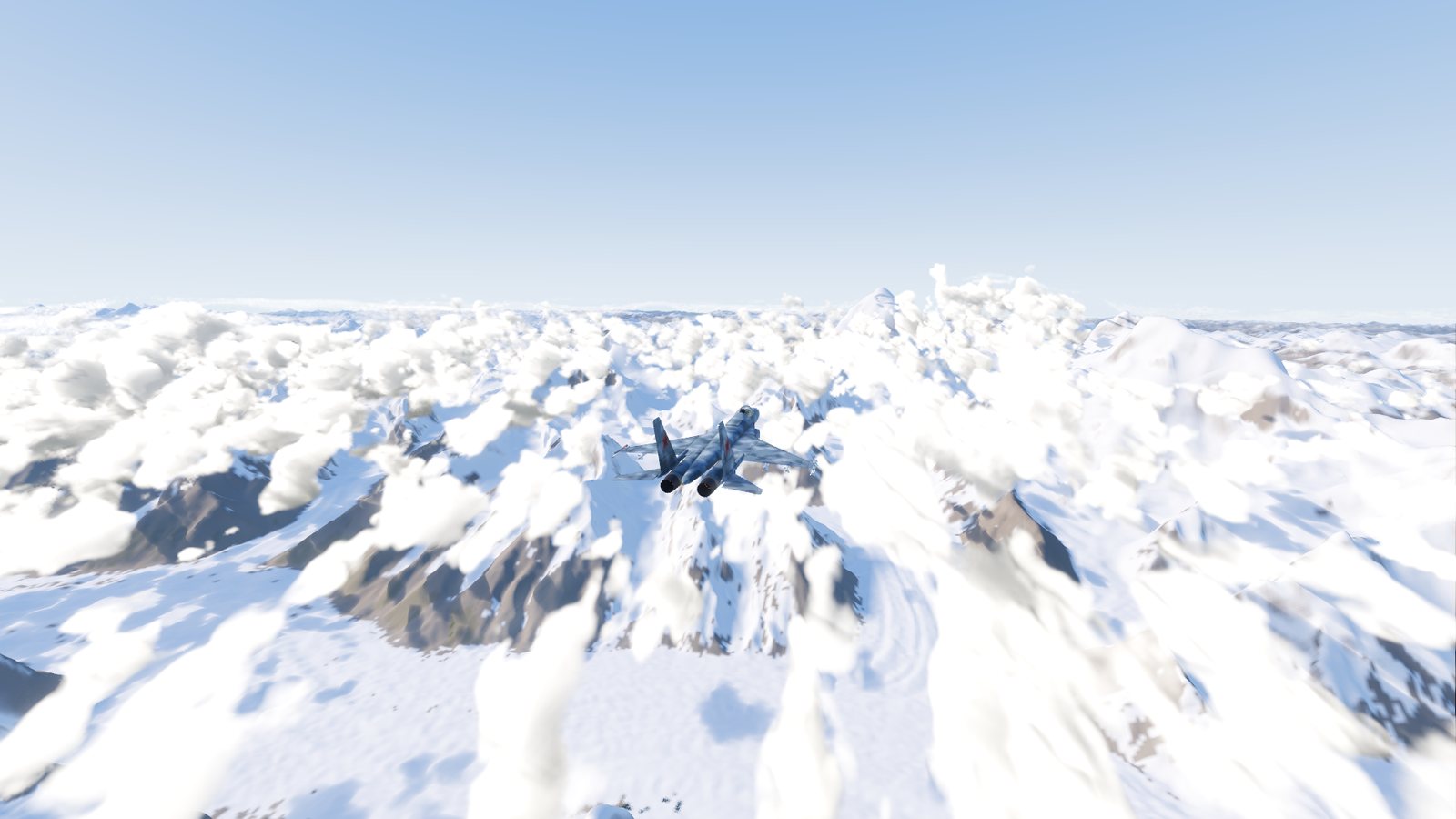
- Real land cover: forests, grass, fields, towns, rivers and lakes, snow and bare rock, from a 10-metre satellite map. Forests grow up the lower slopes, and the high country is rock and snow.
- The curve of the Earth to the horizon. From high up you see it fall away.
- Lakes, among them Wular, Dal, Pangong Tso, Tso Moriri and Mangla. There is no sea on this map.
Some landmarks worth finding: K2 (8,611 m), Nanga Parbat (8,126 m), Rakaposhi (7,788 m) and Nun (7,135 m). They are all marked on the map screen.
The border
The map screen draws one red outline round the whole of Kashmir. FlightOut draws no borders inside the region: the whole map is open to fly, and the outline only marks the region the game is about. More about the map and its data on the map page.
Flying in the mountains
- Many airfields are high: Srinagar is at 1,660 m, Leh at 3,265 m. Thin air means longer take-off runs and higher landing speeds over the ground.
- The ground rises fast. Watch your radar altitude in valleys and keep clear of ridges in cloud.
- Hills block radar. A hill between you and another jet hides you from its radar, and from missiles.
Checked against FlightOut 0.5.1.