
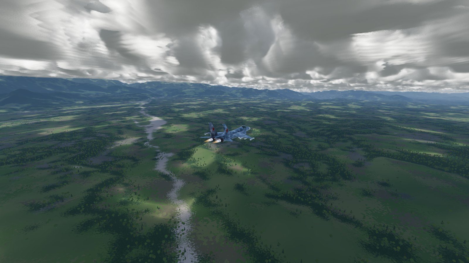
The map
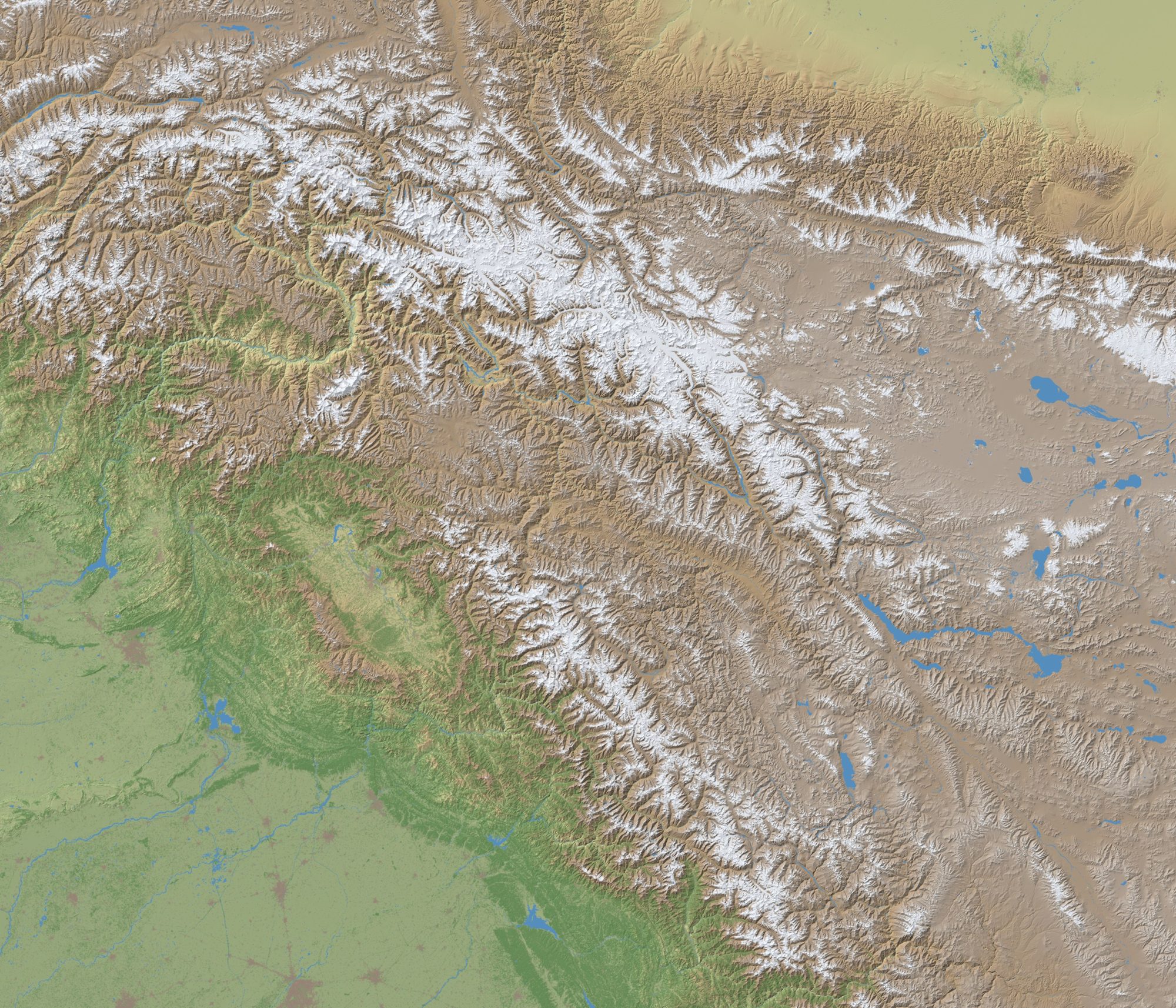
FlightOut has one map, and it is the whole of Kashmir at real scale, built from open satellite data. This is what is in it and where it comes from.
At a glance
- Area
- About 803 by 688 km, centred on 34.55° N, 76.4° E
- Covers
- The Kashmir valley, Jammu, Ladakh, Azad Kashmir, Gilgit-Baltistan, Aksai Chin and the land around them
- Elevation
- Copernicus DEM GLO-30: one height every 30 m
- Land cover
- ESA WorldCover 2021: forest, grass, crops, built-up areas, water, snow and bare rock, 10 m
- Projection
- Azimuthal equidistant around the map's centre, with Earth's curvature in flight
- Airfields
- 25 real airfields, 28 runways
Elevation and land cover
The ground is Copernicus DEM GLO-30, a global elevation model from the European Union's Copernicus programme, with a height every 30 metres. FlightOut takes the tiles from 31° to 38° north and 71° to 81° east, and streams them in with continuous level of detail: sharp under the jet, coarser towards the horizon.
What grows and stands on it is ESA WorldCover 2021, a 10 m land cover map from the European Space Agency. It decides where the forests are (about 96,000 trees, conifers higher up and broadleaves lower), where the fields, towns, rivers and lakes lie, and where the snow and bare rock begin.
Shading, terrain shadows and haze are worked out in the game from the same data, so the relief you fly over is the relief that is there.
Airfields
From OurAirports, with their real runways: edge, threshold and approach lights and a PAPI at every runway end. Multiplayer flights start at Srinagar, Leh and Skardu.
| Code | Airfield | Runways |
|---|---|---|
| OPLA | Allama Iqbal International Airport | 18L/36R, 3,348 m; 18R/36L, 2,747 m |
| VIAW | Awantipura Air Force Station | 12/30, 3,198 m |
| VI88 | Beas Airport | 16/34, 1,226 m |
| OPBG | Bhagatanwala Airport | 07/25, 2,728 m |
| OP1Y | Chandhar Airport | 05/23, 2,746 m |
| OPQS | Dhamial Army Airbase | 14/32, 2,039 m |
| VI66 | Fukche Advanced Landing Ground | 13/31, 2,753 m |
| OPGT | Gilgit Airport | 07/25, 1,644 m |
| ZWTN | Hotan Airport | 11/29, 3,168 m |
| OPIS | Islamabad International Airport | 10L/28R, 3,639 m; 10R/28L, 3,648 m |
| VIJU | Jammu Airport | 18/36, 2,060 m |
| VIGG | Kangra Airport | 15/33, 1,408 m |
| VI65 | Kargil Airport | 02/20, 1,834 m |
| VILH | Leh Kushok Bakula Rimpochee Airport | 07L/25R, 2,752 m |
| OPMA | Mangla Airport | 14/32, 1,522 m |
| OPMS | Minhas Air Base | 12/30, 3,030 m |
| OPRN | PAF Base Nur Khan (Benazir Bhutto International Airport) | 12/30, 3,291 m |
| VIPK | Pathankot Airport | 01/19, 2,736 m |
| OP27 | Rahwali Airport | 05/23, 1,903 m |
| OPSS | Saidu Sharif Airport | 05/23, 1,744 m |
| OPSD | Skardu International Airport | 14L/32R, 1,982 m; 14R/32L, 3,651 m |
| VIAR | Sri Guru Ram Das Ji International Airport | 16/34, 3,297 m |
| VISR | Srinagar International Airport | 13/31, 3,632 m |
| VI57 | Thoise Airport | 10/28, 3,050 m |
| VIUX | Udhampur Air Force Station | 18/36, 2,758 m |
The border on the map
The map screen draws one red outline around the whole of Kashmir: Jammu and Kashmir with Ladakh, Azad Kashmir, Gilgit-Baltistan, the Siachen Glacier, Aksai Chin, the Shaksgam valley and Demchok, joined into a single region. It comes from Natural Earth's public-domain boundaries.
FlightOut draws no lines inside the region. The whole map is playable, and the outline marks the region the game is about, nothing more.