
FLIGHTOUTDownload

The world

Kashmir at real scale, its airfields, the weather and time of day, and the map screen.

FlightOut has one map: the whole of Kashmir at real scale, about 800 by 690 km. It runs from the plains of the Punjab to the Karakoram and from Gilgit to Aksai Chin, with 25 real airfields. Everything on it is playable.
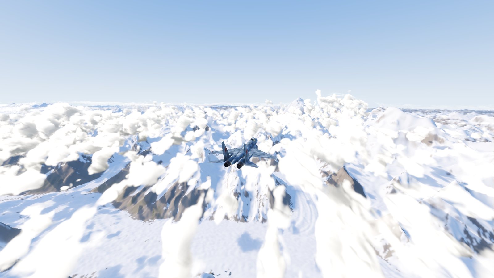
A Su-27 Flanker flying over the snow-covered peaks of the Karakoram near K2 in FlightOut, built from real 30-metre elevation data
Over the Karakoram near K2, at about 8,300 m.

You choose the time of day and the weather for your offline flights. Online, the server chooses them for everyone.

KashmirWhat the map covers, how big it is, and what you will see from the air.AirfieldsAll 25 airfields on the map with their height and runways, the multiplayer start airfields, and the runway lights and landing aids.Weather and timeSet the time of day, the sky, the wind and turbulence, and what each does to your flight.The map screenThe in-flight map: where you are, the airfields and other jets, and the ruler for bearings and distances.

Checked against FlightOut 0.5.1.